Linear Park (Canal Path)
Location
Linear Park runs along the southern edge of Spondon from Asda island to the border of Borrowash. Linear park links Bridgeside park and Hobson Drive park, also passing Spondon Railway station.
There is no designated parking available for Linear Park
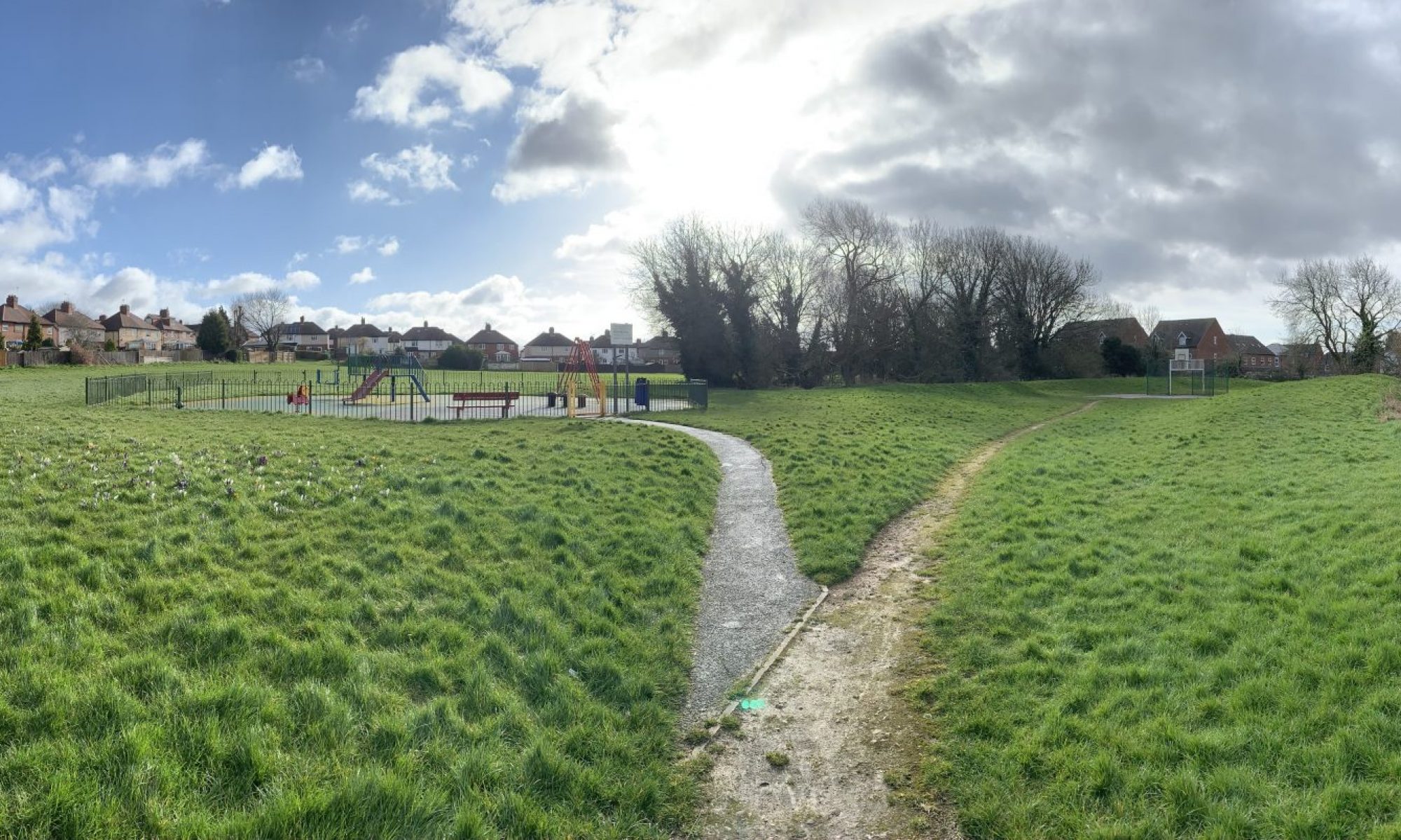
There are 6 pedestrian access point for Linear Park, highlighted on the map below, these are suitable for pushchairs and wheelchairs.
|
Closest Defibrillator St Hughs Church, 68 Derby Road |
Location Identifiers Google Plus Code |
Things to do
 |
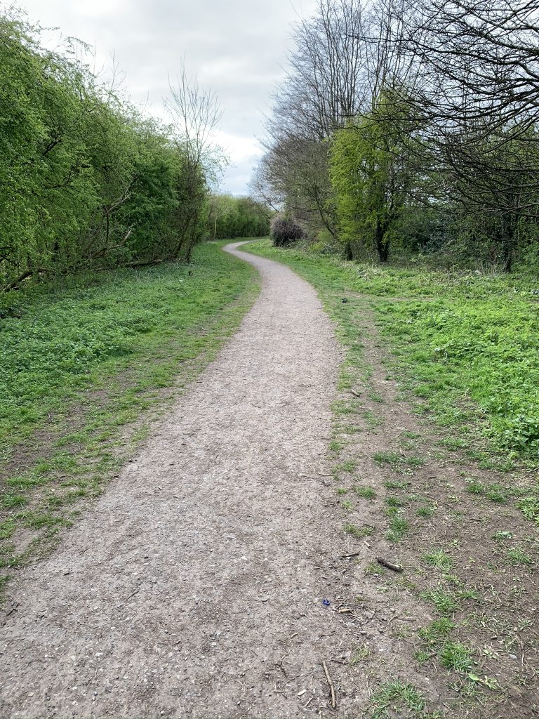
Path |
 |
Entrance from Megaloughton Lane (Asda Island) |
 |
Entrance from Station Road (under the bridge) |
 |
Entrance from Anglers Lane |
|
|
Entrance from Rovings Drive |
|
|
Entrance from Falconside Drive |
 |
Entrance from Hobson Drive |


About the Park
The park is about 2.6 hectares in size.
The path from end to end is about 1.7 km
Linear Park is home to the Rainbow Bridge, an amazing piece of artwork featuring Spondon landmarks
Spondon Canal to Linear Park
Linear Park park follows the route of the old Spondon Canal, historically this has been known as the Canal Path or the “Spondon Mile”.
In 2003 the Spondon Community Association (Village Improvements Committee) and the Derby and Sandiacre Canal Society started working together and it was decided that this stretch of canal would benefit from a label that better captured the ambitions of the group. Following a public meeting and consultation, the Spondon Mile/Canal Path was named Linear Park.
To celebrate this the bridge on Station Road that crosses the park was converted into a giant mural, named the “Rainbow Bridge” by local children
For more information on the progress of the canal visit the Derby and Sandiacre Canal Trust Website
Gallery